Twelve Best Places to Hike in Monterey County!
Of all the paths you take in life, make sure a few of them are dirt~ John Muir. One of the nicest things about living here in Monterey County is the plethora of areas to hike. No matter your age or experience, there is always a trail for you here. The following is my list of the twelve best places to hike in Monterey County.
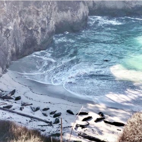
#1. Point Lobos State Natural Reserve. Located three miles south of Carmel on Highway 1, Point Lobos has very easy walking trails as well as more challenging hiking trails from .8 to 2.9 miles. It provides a tantalizing sensory experience with the sunlight sparkling on the bay and the fresh scent of towering cypress trees. You will also have some great views of wildlife here. Park your car outside the park and enter for free! No dogs are allowed. For more information, see Point Lobos: Crown Jewel of State Parks.
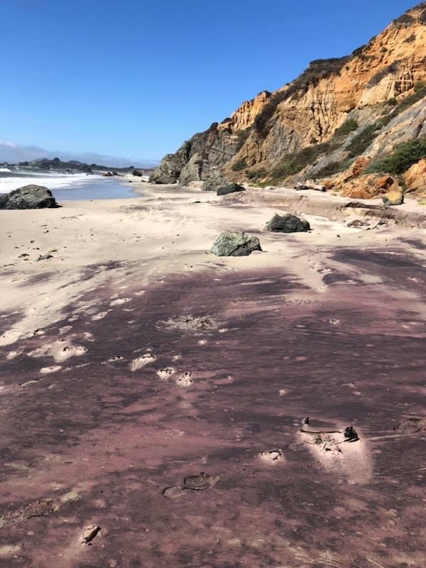
#2. Andrew Molera State Park. This is located 20 miles south of Carmel on Highway 1. Some of my die-hard hiking friends swear this is their #1 go-to hike. The shortest hike here is 1.7 miles and the longest, per my hiking friend Brian, is about 10 miles. Hikes vary from easy to strenuous. Keep in mind that in the spring, the Big Sur River can become swollen and you will have to wade across. Otherwise, there is a seasonal foot bridge when the river is low. A really cool thing about this area is the magenta and purple hued sand. This is due to the dramatic manganese cliffs along shoreline. It is not uncommon to spot whales from the beach here. It is one of the local favorites for sure! No dogs are allowed. For more information, see Andrew Molera.
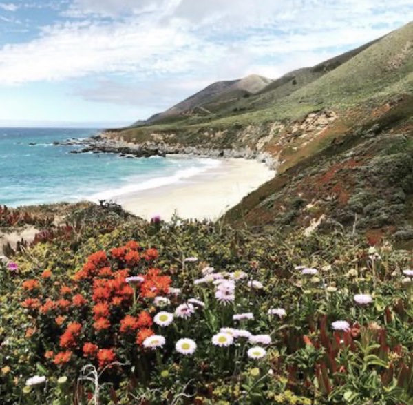
#3. Garrapata State Beach. Located 6.7 miles south of Carmel on Highway 1, Garrapata is another local favorite. It features spectacular views of rock formations, cliffs, and wildflowers that are simply magical. In addition, Doud Creek runs through exquisite Calla Lily Valley to the sea near this 1.1 mile loop. This is a moderate level hike due to the steep staircase and uneven terrain. Dogs are allowed but must remain on leash.
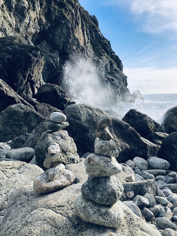
#4. Partington Cove. Address: 51354-51358 Highway 1, Big Sur. This is a 1.1 mile trail featuring wildflowers, a waterfall, a wooden bridge, and a cool tunnel. I would highly recommend this for families with kids, it’s super fun and not too strenuous. For more information, see Partington Cove: Tanbark Tunnel to the Sea. Keep in mind you will need to navigate a steep hill to get back to the road.
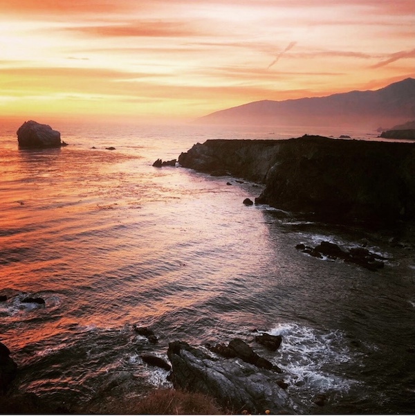
#5. Jade Cove. This is pretty hard to find, but oh so worth it. Located on Highway 1 approximately 60 miles south of Carmel and 30 miles north of San Simeon, this is a hidden gem. This is a .3 mile hike that offers breathtaking views of the ocean and also an enchanting hike down to the beach to look for beautiful Big Sur jade. Because it is very challenging to get from the cliffside down to the beach, this is a moderate hike. Dogs are allowed but must be kept on leash. For more information, see Sand Dollar Beach & Jade Cove in Big Sur.
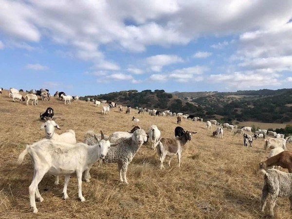
#6. Fort Old National Monument-Badger Hills Trailhead. This is located between Salinas and Monterey at 692-696 Highway 68. In the early spring, hundreds of goats dot the hillside, munching away to help mitigate wildfire risk. The wide former military roads are perfect for social distancing, but there are also many more secluded and narrow dirt trails. This is good place for beginners through advanced hikers as there are multiple levels of difficulty and lengths you can choose. Tons of mountain bikers come here too. Dogs are welcome but must be on leash. For more information, see Fort Ord.
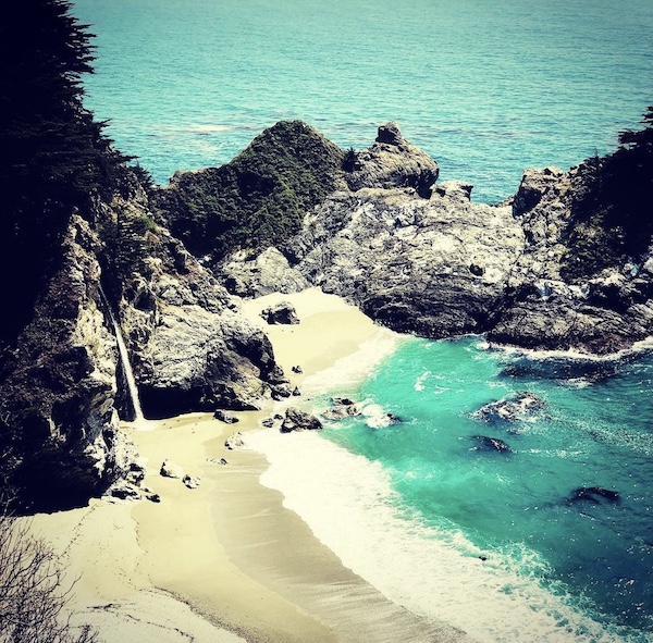
#7. McWay Falls. Located at 52801 Highway 1, Big Sur, this is another family friendly, easy hike from Julia Pfeiffer Burns State Park. The Waterfall Trail is only .6 miles and the reward is seeing the majestic 80 foot waterfall plunging to the turquoise ocean below. For more information, see McWay Falls: Beauty & History in Big Sur.
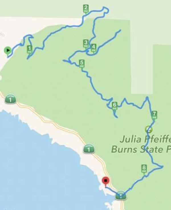
#8. Tanbark Trail & Tin House to Ewoldsen. For a pretty difficult and longer hike, try the Tanbark Trail and Tin House Loop to the Ewoldsen Trail which will bring you to McWay Falls at the end. This hike starts across the road from Partington Cove. The trail travels through groves of redwoods to a dilapidated yet iconic tin home built in 1944 by Lathrop Brown. It then winds down through the forest to Julia Pfeiffer Burns State Park and McWay Falls. It can be quite confusing to make sure you are on the correct trails, so I would recommend studying up exhaustively before attempting this. For more information, see Big Sur Hikes.
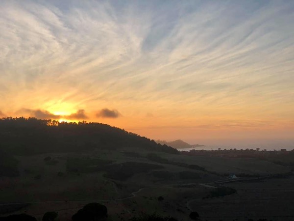
#9. Inspiration Point at Palo Corona Regional Park. Address: 4860 Carmel Valley Road, Carmel, CA. You start out walking past dozens of black mooing cows in a peaceful pasture before you start up a steep incline through coastal oaks. This is a 1.3 mile 850 foot elevation hike with gorgeous birds eye views of the Carmel coastline. I think this would be a great romantic date hike, especially at sunset. Dogs on leash are allowed only in the north park area; no dogs allowed south of South Bank Trail. for more information, see Palo Corona.
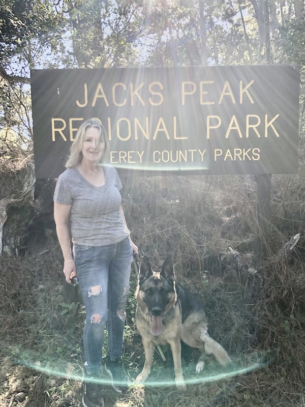
#10. Jack’s Peak County Park. Address: 25020 Jacks Peak Rd., Monterey, CA. This park features breathtaking views of the ocean at Monterey Bay. It also has the largest native pine forest in the world. It has eight moderate trails from 1.8 to 6.6 miles. Most trails are fairly narrow so there is a great deal of squeezing by oncoming hikers. Dogs are allowed on leash. There are lots of picnic tables and benches so it’s a great place to enjoy a snack or meal after your hike! For more information, see The Strange Saga of Monterey Jack.
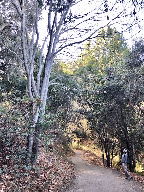
#11. Garland Ranch Regional Park. Located at 700 West Carmel Valley Road, Carmel Valley, CA, this is a very popular spot for hikers with dogs. To enter the park you cross above the lovely Carmel River on a bridge. Inside the park are trails for everyone, from beginners to advanced hikers. Some of the most challenging hikes here include the Snivley’s Ridge Trail which is 14.2 miles and The Pinyon Peak Trail which is an 8.7 mile loop to the old fire lookout tower. For more information, see Garland Park.
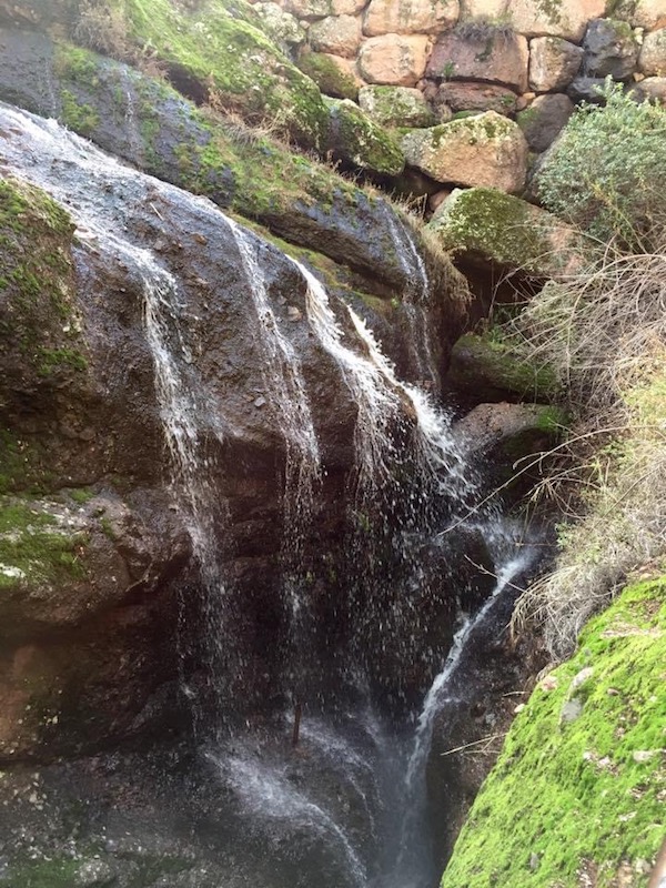
#12. Pinnacles National Park. Address: 5000 Hwy 146, Paicines, Ca. Formed from volcanic activity millions of years ago, Pinnacles is simply stunning. From waterfalls coming through the cave roofs, to stone spires, to doorways formed in rock, to Bear Gulch Reservoir, to wildflowers and more, this is the crème de la crème of hiking areas. There are trails here for everybody, from easy to strenuous. Located in the far southeast corner of Monterey County, Pinnacles has two entrances, one off Hwy 25 south of Hollister, and also east of King City. Dogs are not allowed on any of the hiking trails. For more information, see Pinnacles.
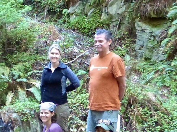
I hope you enjoyed this post on my twelve favorite hikes in Monterey County. Thank you for visiting my blog! Wishing you peace, joy, happiness & beautiful vistas.