-
Panther & Hole-in-the-Wall Beach
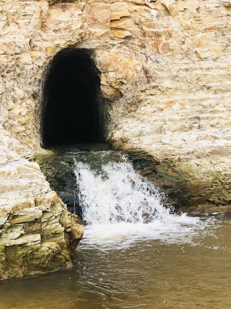
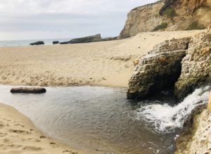
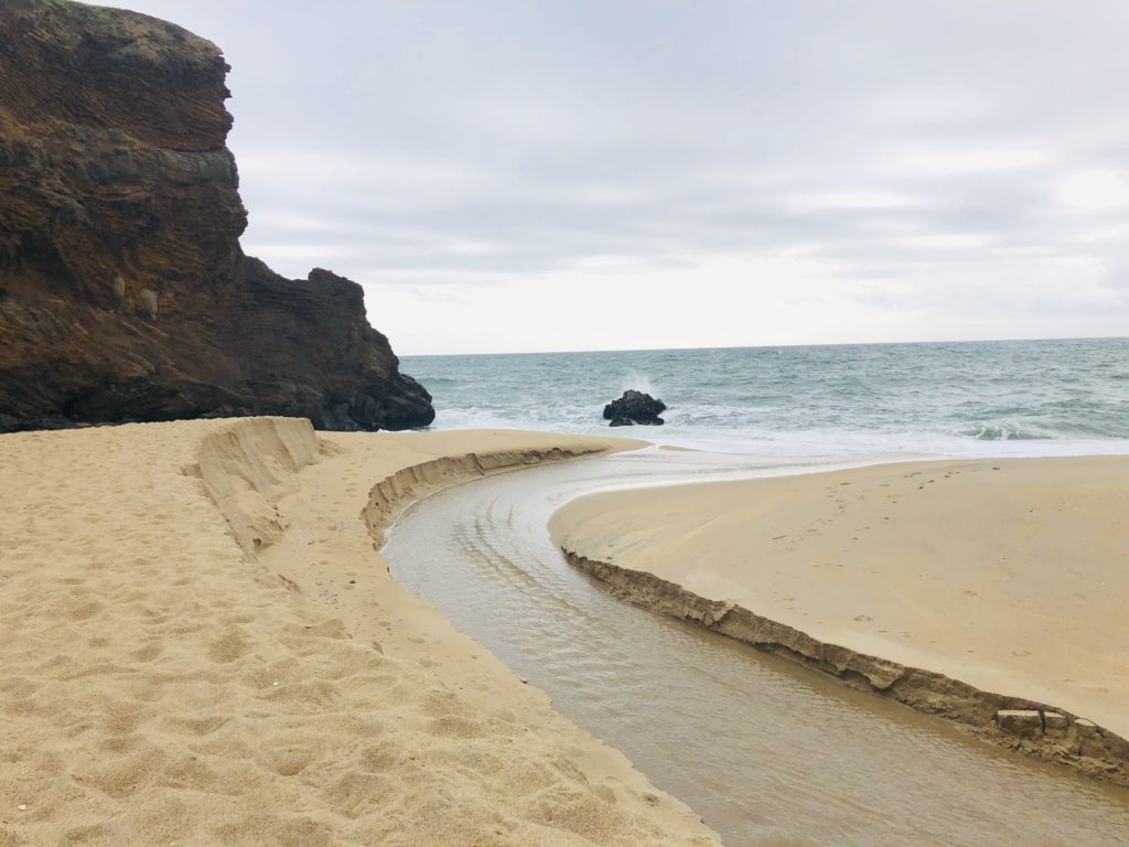 The minute you set foot on idyllic Panther Beach you will be mesmerized by the magical sights and sounds. Sunlight glistens on the sand, seagulls hover on the ocean breeze, and majestic waves splash and crash rhythmically onto the beach. Secluded and private, Panther Beach will entice you with its beauty. It features not only a magnificent walk-through sea cave, but also a rushing seasonal waterfall. The waterfall cascades from the base of a cliff to form a waterway that wends its way down the beach to the sea.
Panther Beach and Hole-in-the-Wall Beach are part of the Coast Dairies State Park, which spans about a six-mile segment west of Hwy 1 in Santa Cruz County, north of Santa Cruz and south of the small town of Davenport. Coast Dairies State Park also includes Bonny Doon, Laguna Creek, Davenport Landing, Shark Fin Cove & Beach, and Scott Creek Beach.
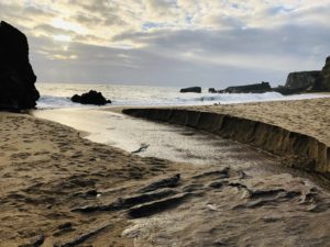
The creek cuts a path through the sand and into the sea. 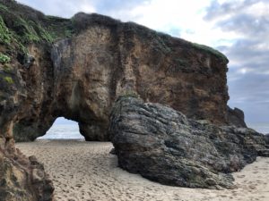
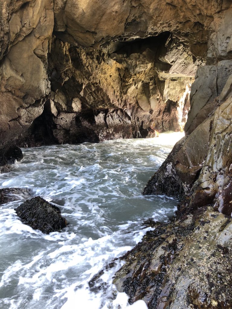
Behind a rugged stone wall on the south end of Panther Beach, a sea cave leads you to secluded Hole-in-the-Wall Beach. At high tide, it is difficult as well as dangerous to access due to strong surf. If you enter Hole-in-the-Wall Beach at low tide, be mindful of the tides because you could be trapped if the high tide comes in unexpectedly. This is the only way in and the only way out.
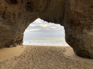
The ocean stirs the heart, inspires the imagination, and brings eternal joy to the soul.–Wyland
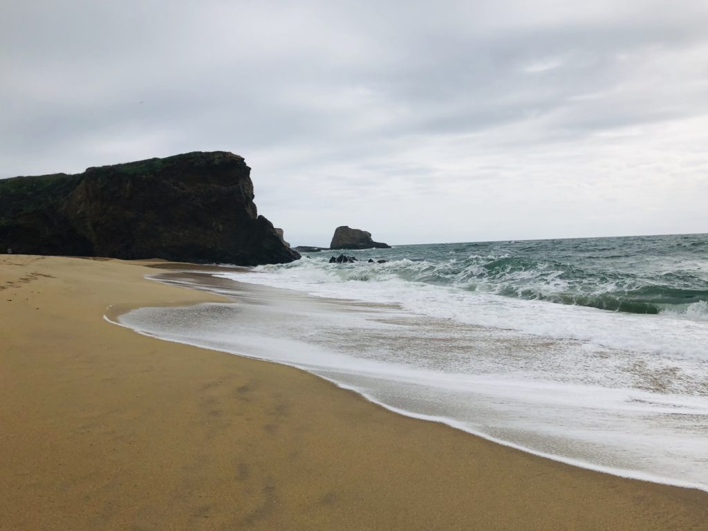
Hole-in-the-Wall Beach is accessible at low tide. Nothing soothes the soul like a day by the ocean. This beach is such an inspiring and joyful place to relax and rewind. It is a great place for beachcombing, rock climbing, sunbathing, photography, and hiking Be aware that the trail leading down to the beach is steep and moderately challenging and may be too difficult for inexperienced hikers. Also, during the spring rainy season, it can be muddy and slippery.
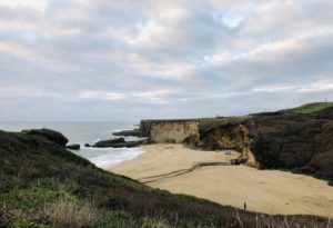
The view from above Panther Beach. Where:
Panther Beach and Hole-in-the-Wall Beach are located off Hwy 1 north of Santa Cruz at mileage marker 26.5, approximately two miles south of Davenport.
Helpful Hints:
- Hours are 8 am to sunset.
- Parking is available on an unmarked, elevated dirt area between Hwy 1 and the railroad tracks on the ocean side.
- No horses, vehicles, fires, glass, camping or alcohol is allowed.
- Be aware of the tides as high tides can cause entrapment.
- Swimming is not advised due to rip currents.
- To avoid crowds, try visiting during the week, when it is generally deserted
- Be respectful and pack your garbage in and out. Do not leave your refuse on the beach for others.
I hope you get the chance to visit this beautiful area! Thank you for visiting my blog. Wishing you peace, love, happiness, & beautiful vistas!
-
Elkhorn Slough & Moss Landing
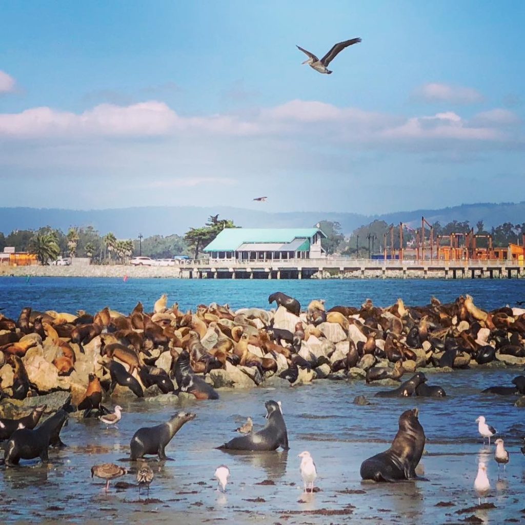
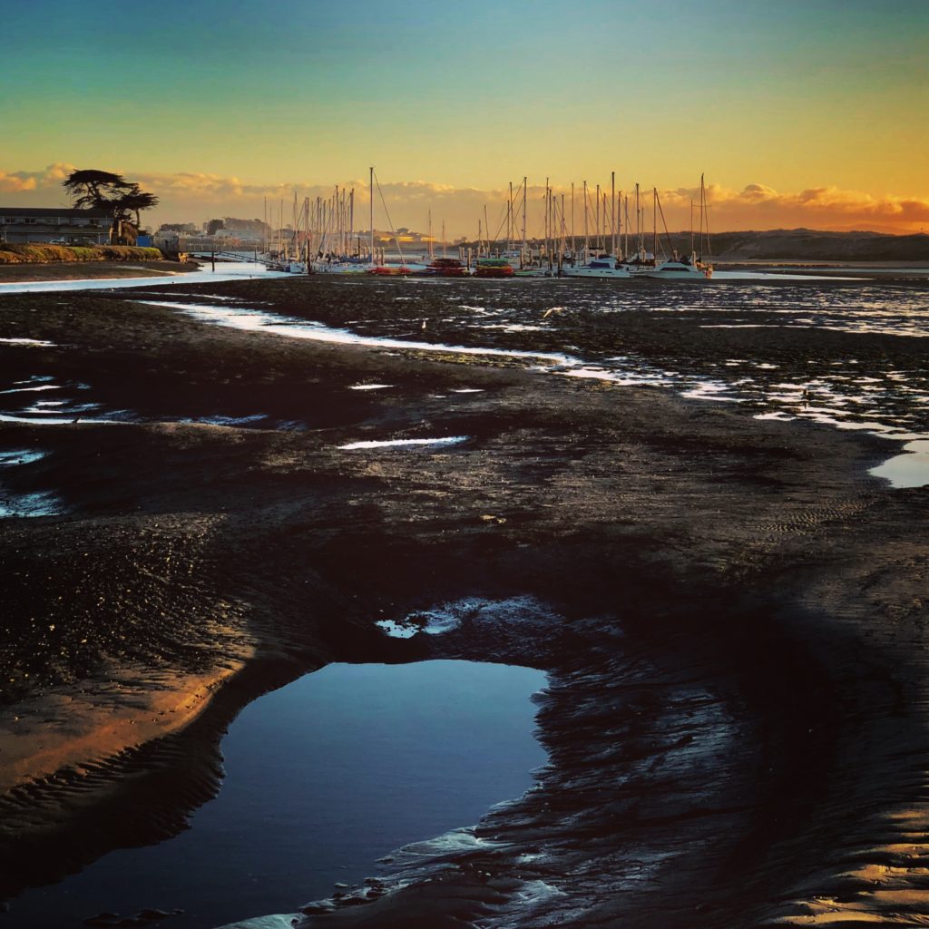 Playful Otters, barking sea lions, and graceful egrets are only a few of the amazing wildlife you may see at Elkhorn Slough and Moss Landing. The area is also home to a plethora of good restaurants, art galleries, and shops. You can also enjoy a variety of outdoor activities here, including fishing, surfing, beach combing, sea kayaking, whale watching, walking trails and even hydro biking.
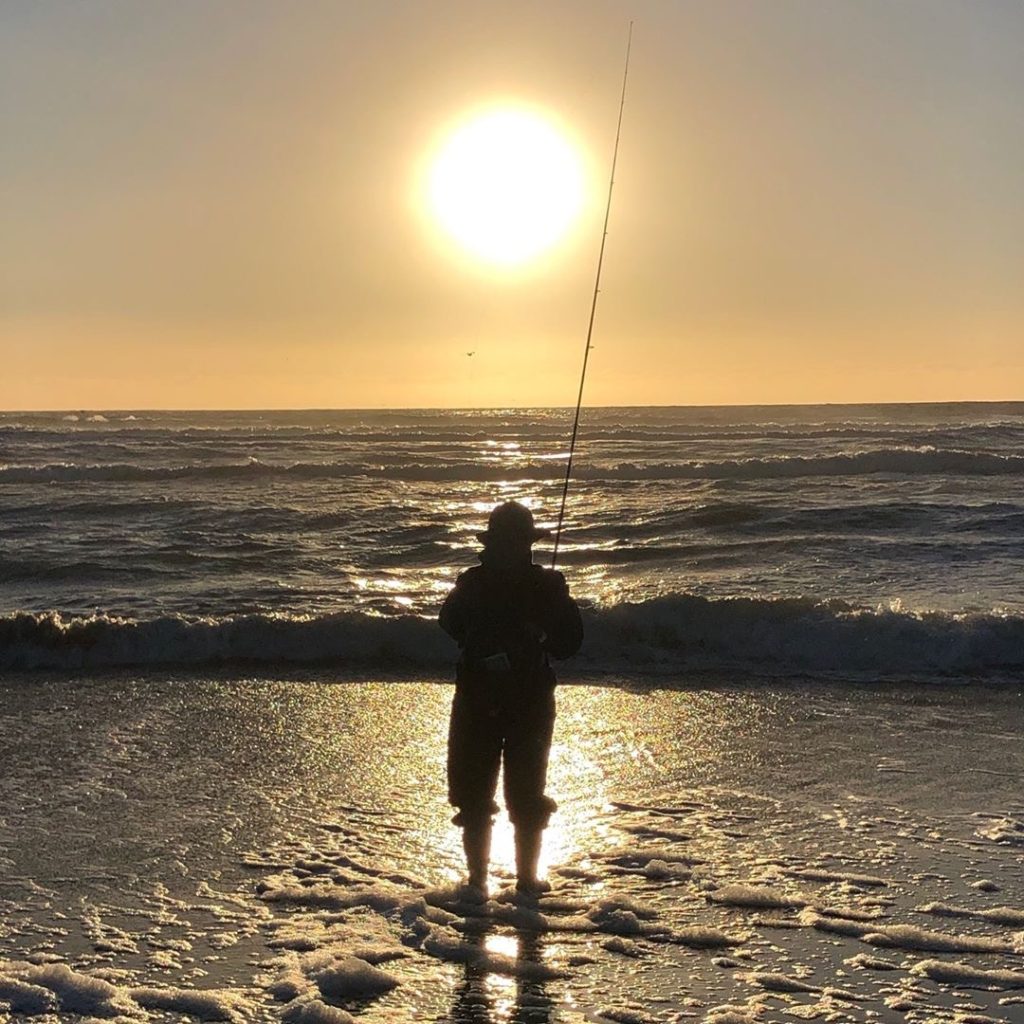
A lone fisherman on Moss Landing Beach during the King Tides. The extreme low tides pose prime conditions for fishing. HISTORY
Located between Monterey and Santa Cruz, Moss Landing is located where the Elkhorn Slough creates an estuary as it flows into Monterey Bay. Moss Landing is named for Charles Moss, a ship captain from Texas who built a wharf here in the mid-1800s. The area was once a very busy whaling and fishing port and the site of many fish processing plants and canneries. Today, Moss Landing Harbor is home to hundreds of fishing, pleasure, research and tour boats. Commercial boats bring in Dungeness crab, halibut, salmon, albacore, sardines, squid, mackerel, prawns, and more. Fresh seafood can be purchased off the boats and in the local restaurants.
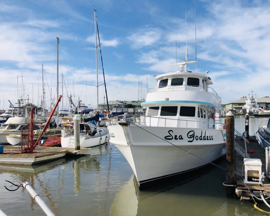
The Sea Goddess is one of several whale watching tour ships in the area. 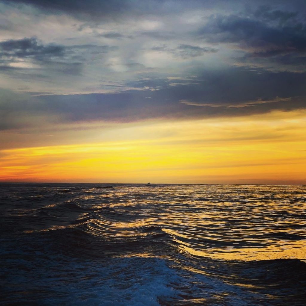
Moss Landing Harbor is home to the Monterey Submarine Canyon, a mile-deep chasm filled with a variety of sea life, including whales! 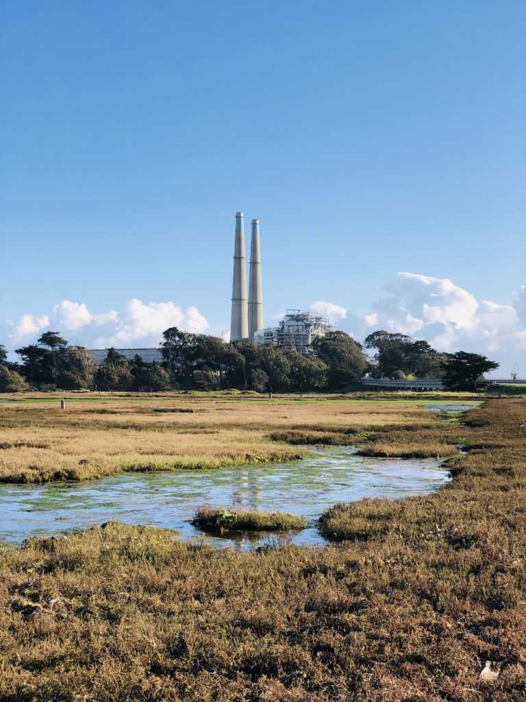
The twin towers of the power plant can be seen for miles. BUILDINGS AND RESTAURANTS
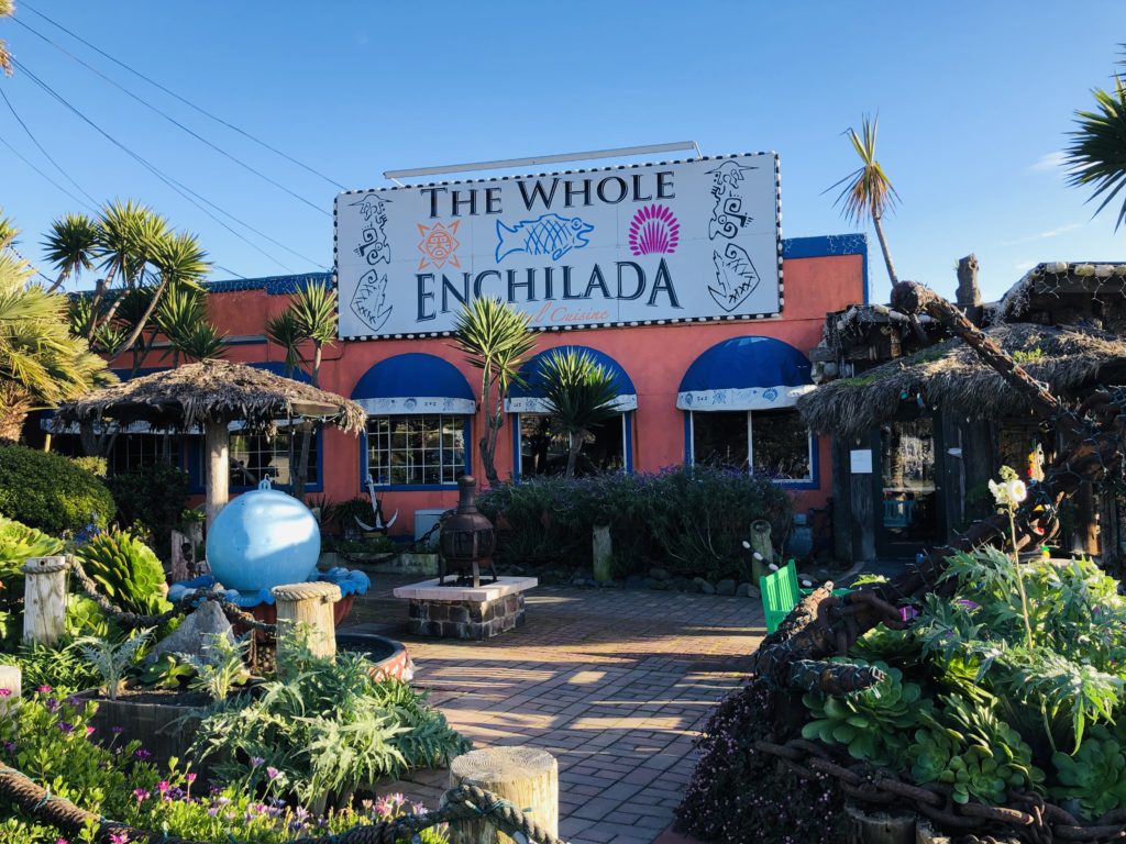
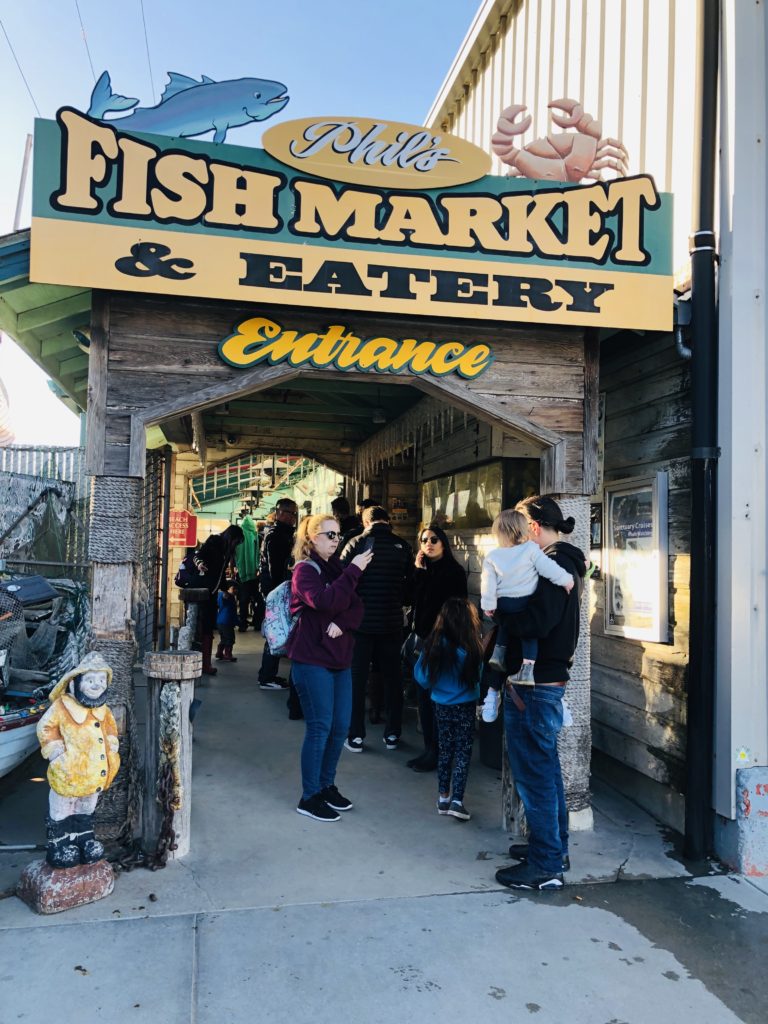
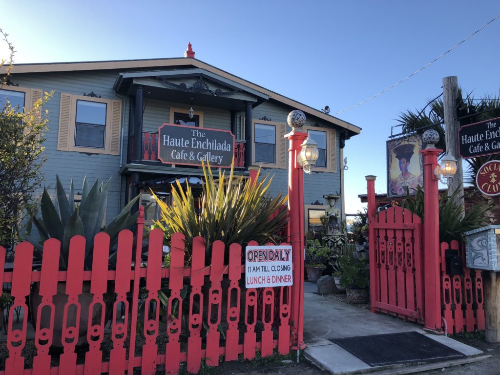
Notable buildings in Moss Landing include the Moss Landing Marine Laboratories operated by California State University, the Monterey Bay Aquarium Research Institute, and the Moss Landing Power Plant. Some of the amazing restaurants in the area include Moss Landing Cafe, The Whole Enchilada, Haute Enchilada, Lighthouse Harbor Grille, Pacific Grill, Lemongrass Seafood, Sea Harvest and Phil’s Fish Market. Lines form daily at Phil’s for the cioppino, one of the restaurant’s most famous dishes. For more information on local eateries in Moss Landing, see Restaurants.
ACTIVITIES AND EVENTS
Moss Landing offers many fun activities and events including dancing, music, and wine and other tastings at both the Haute Enchilada and the Whole Enchilada. The Elkhorn Yacht Club also hosts a multitude of fun events including a crab feed in February as well as seasonal parties and races. There are also open studio art tours in September and October featuring local artists. One of the most popular summer events in the area is the annual Moss Landing Antique Street Fair. It is usually held the last Sunday in July and brings hundreds of vendors and shoppers together for a day of fun. Other activities in the area include the May opener for rock cod fishing, blessing the fleet May 1, open house at the Marine Labs every spring, and a Nautical Flea Market in May. For more information on events in the area, see Moss Landing.
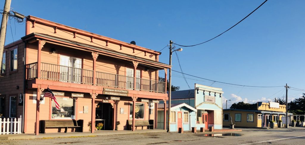
The main drag in Moss Landing has many quaint, historic buildings and shops. 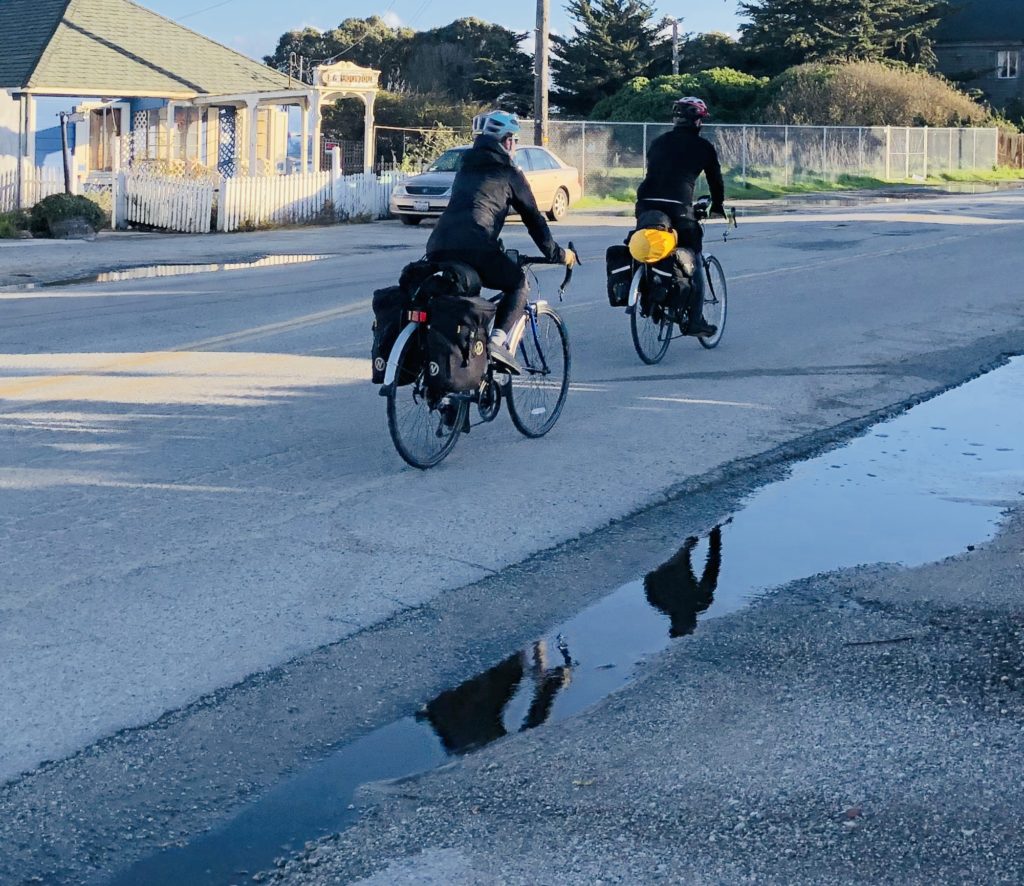
Moss Landing is a great place to bike and enjoy the quiet fishing village. WILDLIFE
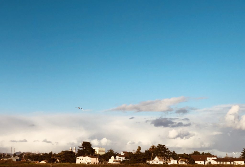
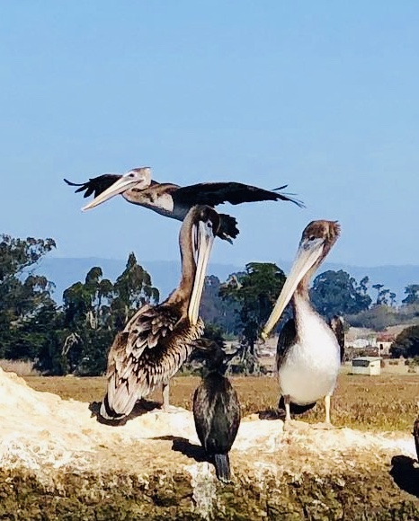
Elkhorn Slough is one of the largest wetlands in California. It began as a salt marsh and efforts are being made to help restore this habitat. It is considered one of the top ten best birding spots in the country, according to Audubon. More than 350 bird species migrate through Elkhorn Slough each year. It is a nesting place for Western Snowy Plover in spring and summer. In fall and winter, the wetland provides habitat for waterfowl and shorebirds. My favorites are the snowy egrets and the endangered brown pelicans.
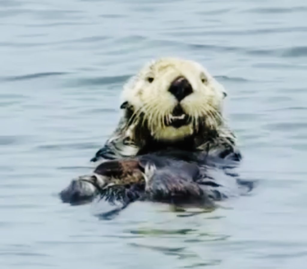
Moss Landing offers wonderful opportunities to view resident sea otters. You can see rafts of sea otters swimming here, sometimes holding hands. A raft refers to a group of sea otters in the water. A group can also be called a family, romp, lodge, and bevy. Whatever they are called, who doesn’t love those faces? Too much cuteness!
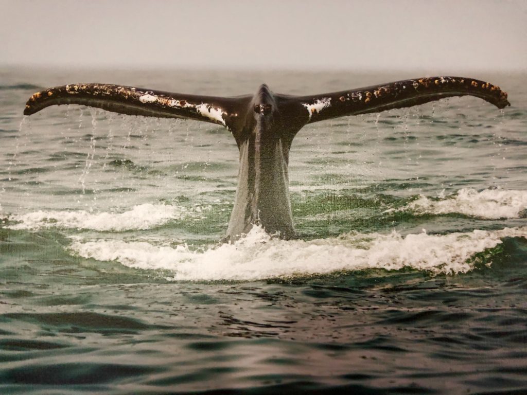
Moss Landing is also one of the best places to spot whales up close! I hope you are able to visit Moss Landing and enjoy its beauty. Thank you for visiting my blog! Wishing you peace, love, happiness, and beautiful vistas.
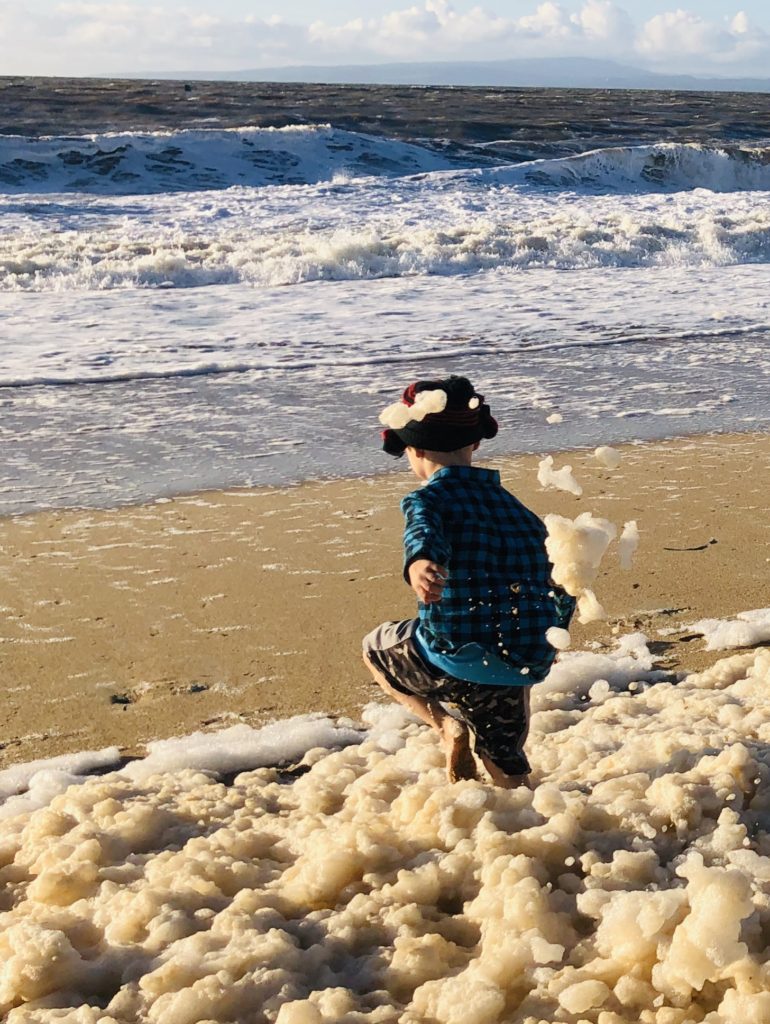
Nothing is more fun than playing in the sea foam when the tide is low. It reminds me of when my Mom used to pour Mr. Bubble in the bathwater and the bubbles got higher and higher in the tub! Good times 🙂 -
Seacliff State Beach: Sand, Sunsets & Sunken Ships
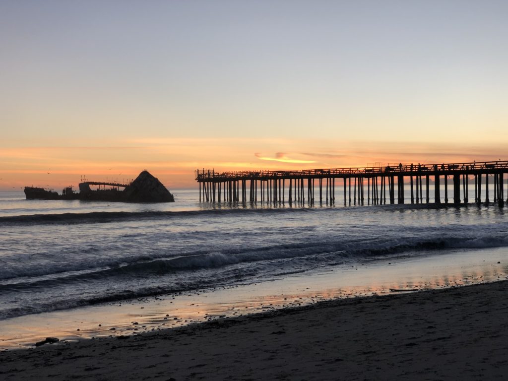
Enticing you with golden sand, gentle sea breezes, and a wooden pier leading to the remains of an abandoned ship, Seacliff State Beach is paradise found. Seacliff State Beach lies next to Aptos, California, and is just south of New Brighton State Beach and Capitola.
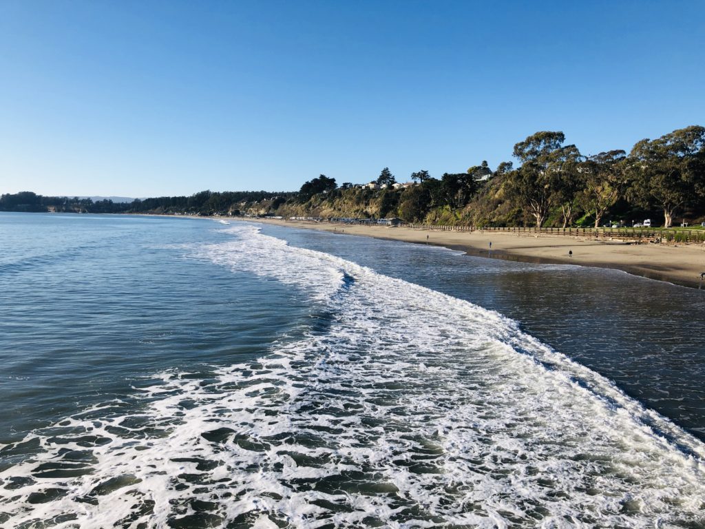
Seacliff Beach was originally called Rancho Aptos. During the 1800s, it was a busy shipping port. By the 1920s, people fell in love with the enchanting scenery, and many summer homes were built on the beautiful bluffs around the area. In 1931, it became one of California’s first state beaches.
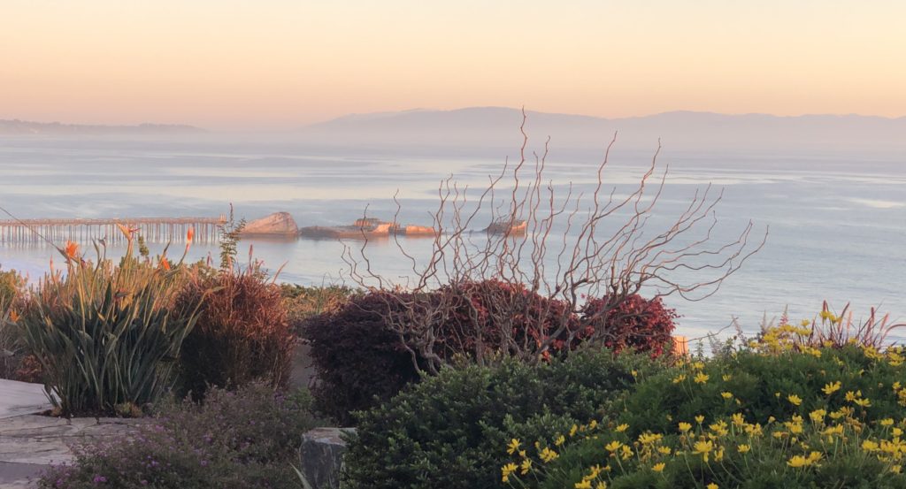
The view from one of the beautiful homes on the cliffs above the beach. *sigh* 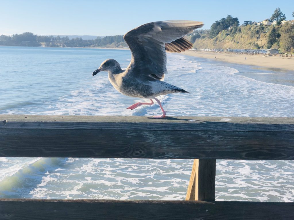
A seagull shows off his dance moves on the old pier. In 1930, the Seacliff Amusement Corporation bought a retired World War I concrete tanker, the SS Palo Alto. It was towed to Seacliff Beach and a pier was built leading to the ship. The ship was rebuilt as an amusement ship. There was a restaurant onboard called the “Fish Palace” with ocean views on three sides and a “Rainbow Ballroom”, where you could dance the night away. There was even a swimming pool onboard! Unfortunately, the Amusement Corporation went bankrupt after only two seasons and the ship was abandoned. During a winter storm, the ship cracked at the midsection. The State of California purchased the ship, and it was stripped of its fittings and left as a fishing pier. It was a popular fishing spot, but eventually, it deteriorated to the point where it was unsafe, and it was closed.
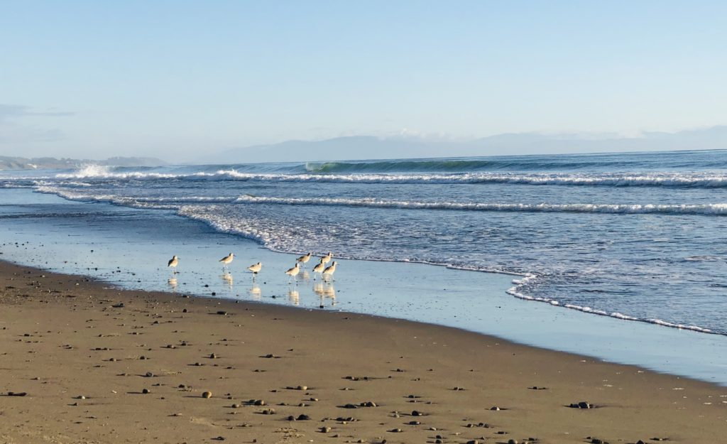
Snowy plovers dash in and out of the waves in their search for food. 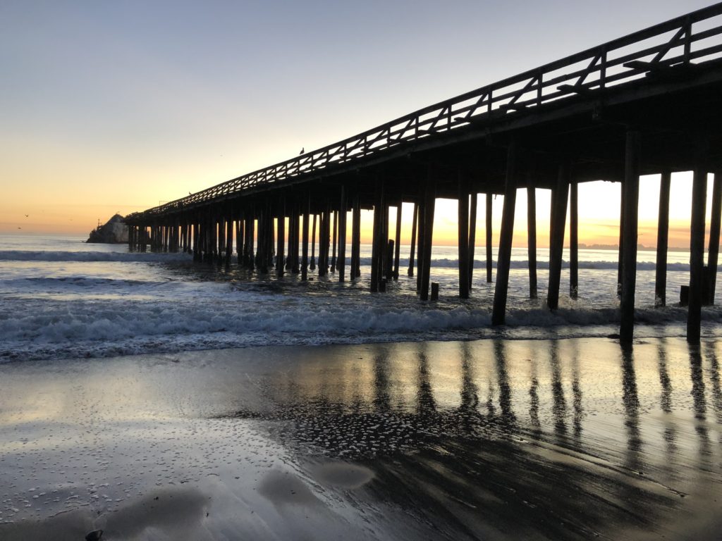
“Nature is painting for us, day after day, pictures of infinite beauty if only we have the eyes to see them.”–John Ruskin There is a paved level path, known as the “Promenade” that follows the mile-long beach and makes it possible for virtually everyone to enjoy the area. Beach wheelchairs are available for those unable to ambulate. As an occupational therapist, I was really thrilled during my visit to see an elderly man enjoying his stroll with his walker on the Promenade. It made my day.
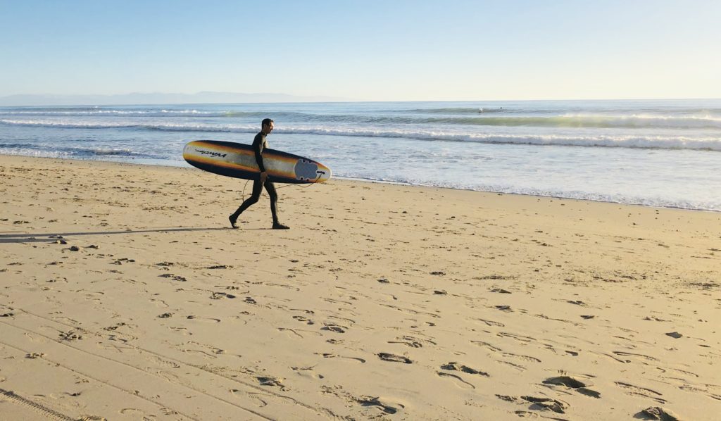
Surfing is popular on the far south end of the beach. Seacliff State Beach is also a great place to go surfing, fishing, picnicking and beachcombing (no matter what your age!).
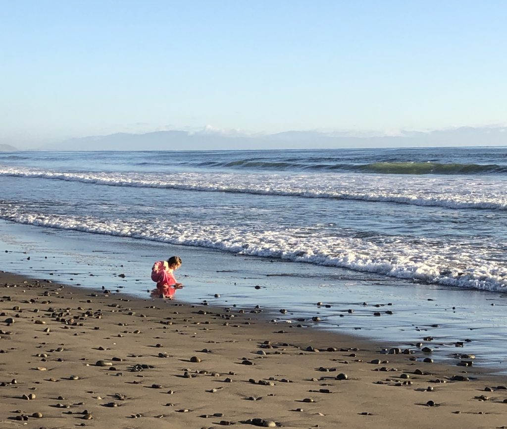
Where: 201 State Park Drive, Aptos, CA 95003
Phone: 831-685-6500
Hours: 8 am – sunset
Parking: You can park above the beach on the street for free and walk down the stairs to the beach, or you can pay 10.00 to enter below near the beach.
Camping: Beachfront camping is allowed for recreational vehicles only. There are 26 full hook-up campsites and 34 non-hook-up campsites.
Other helpful information: Dogs are allowed on leash only, alcohol and fires are prohibited, and drones are only allowed above the southern end of the primary day use parking lot. Fishing does not require a license from the pier but limits are applied by the Department of Fish and Wildlife. Multiple accessible restrooms are located along the “Promenade” pathway. A Visitor’s Center at Seacliff State Beach features exhibits and information about the area’s natural and cultural history. For more information, see Sea Cliff.
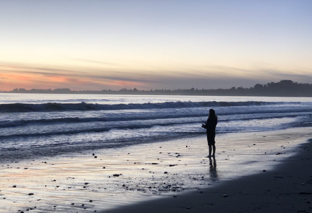
The last catch of the day is the best. I hope that you enjoy the breathtaking beauty of Seacliff State Beach. Thank you for visiting my blog! Wishing you peace, love, happiness, & beautiful vistas.
-
Shark Fin Cove Beach and Sea Cave
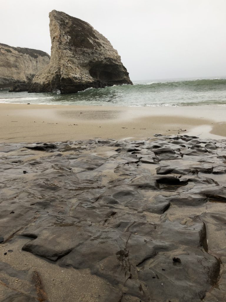
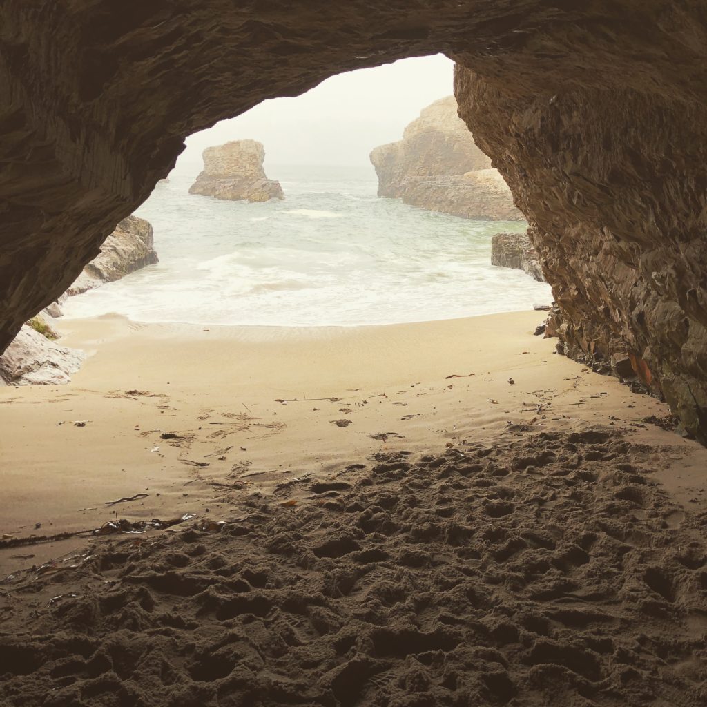
To walk in nature is to witness a thousand miracles. Shark Fin Cove, located .7 miles south of Davenport, California, is one of these miracles. Want to get away from it all and get lost in a beautiful place? This hidden gem will impress you with a stunning walk-through sea cave and an island shaped like a shark’s fin, the result of hundreds, perhaps thousands of years worth of sand being pummeled by the sea’s incessant waves.
Shark Fin Cove & Beach were previously owned by Coast Dairies. In 2006, 407 acres of coastland and beaches were donated to California State Parks. Shark Fin Cove & Beach are a small part of this donation and are part of the much larger Coast Dairies State Park. Currently, the Coast Dairies State Park spans about a six-mile segment west of Hwy 1 North in Santa Cruz County, just south of the small town of Davenport and includes Bonny Doon, Laguna Creek, Panther, Davenport Landing, and Scott Creek Beach.
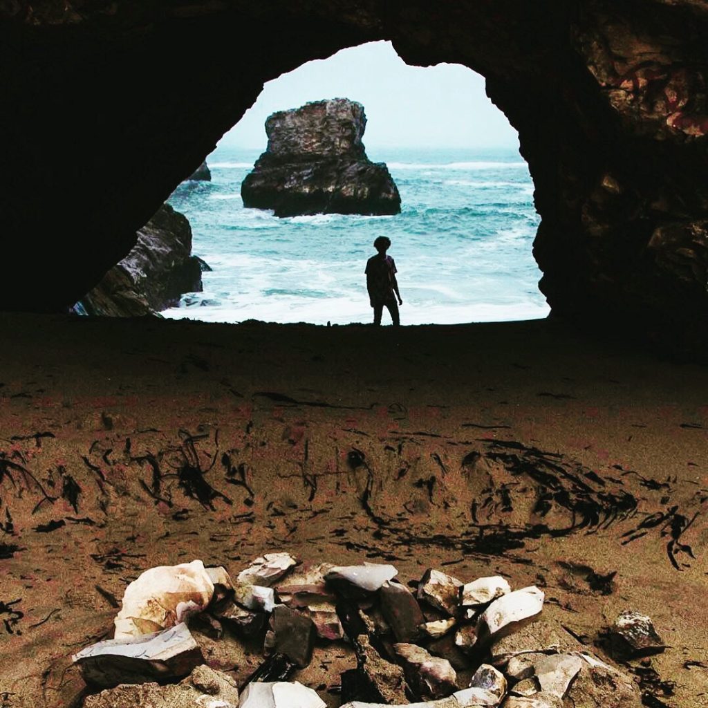
This secluded beach offers great opportunities for photographers because of the sea cave and other features, including the shark fin rock structure. There is also an old mining tunnel on the beach with a delicate waterfall trickling down that is said to be a geocaching site. In addition, there is another amazing arch that may be crossed underneath at low tide. Watching the ocean is mesmerizing but be aware that at times the powerful and dangerous waves here have the potential to sweep you out to sea.
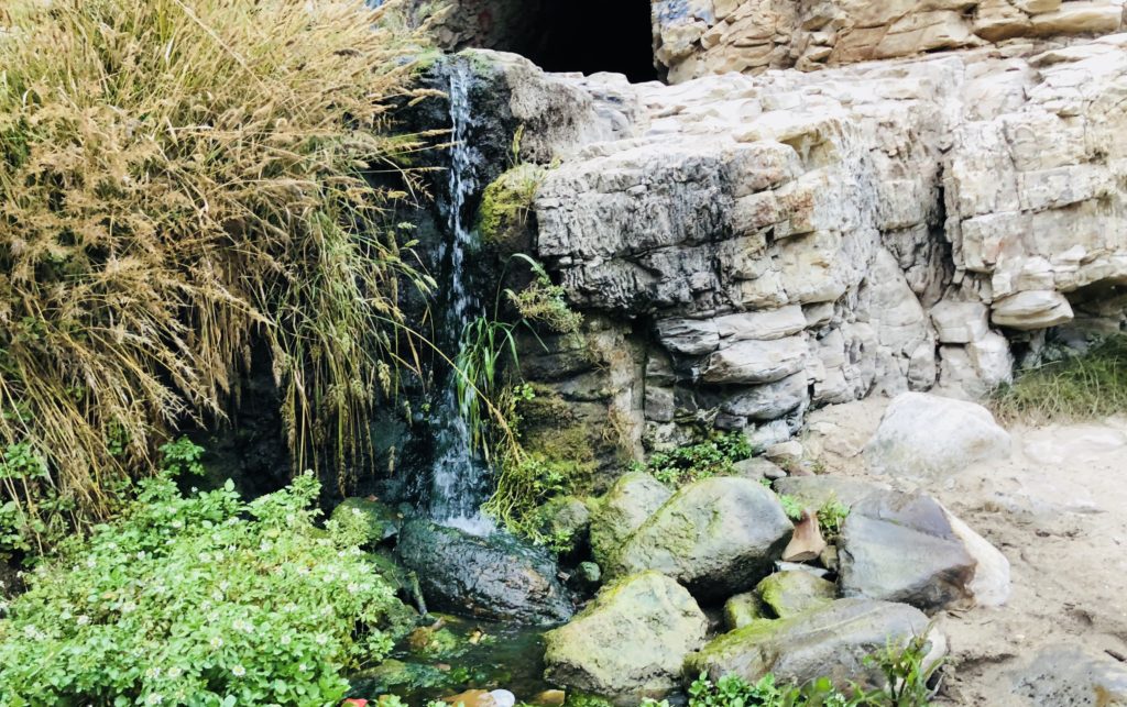
This is a beautiful, rare, and amazing place. Yet, there was another side of Shark Fin Cove Beach that made me sick. People have used spray paint to defile the natural stone with senseless graffiti. People also camp out here and leave their garbage lying on the beach instead of cleaning up after themselves and taking their trash with them. They treat this place like a landfill. It is incomprehensible and unthinkable. How can you abuse such a place of perfect beauty and tranquility? We all have a responsibility to protect areas like Shark Fin Cove and hand them down unharmed to those who come after us. “The earth gets tired of being exploited. A country was made to be as we found it”–Ernest Hemingway
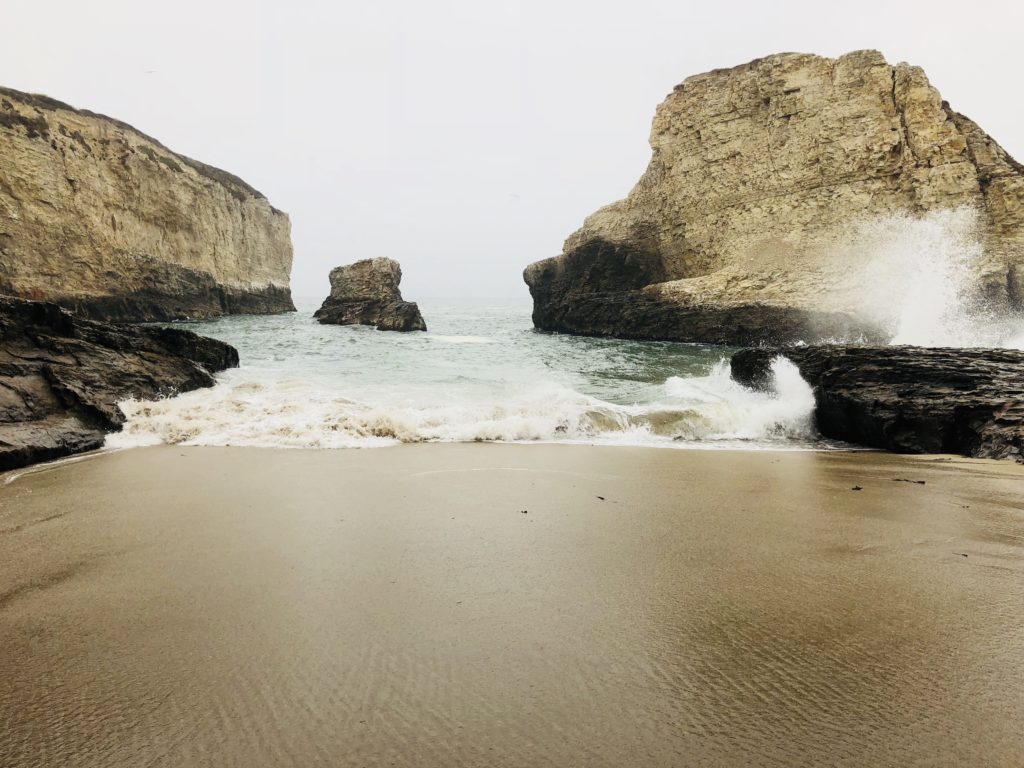
How to get there? From Santa Cruz, follow Hwy 1 north approximately 10 miles. Just north of parking for Bonny Doon Beach, you will see a dirt pullout. You will be able to see railroad tracks west of the parking area. Take the trail over the railroad tracks and you will see a sign and behind it a trail leading down under a large pipe. Follow the steep trail down under the pipe (try not to bump your head like I did!), and when you get to the bottom the sea cave is to the far left. Straight ahead you will see the rock formation shaped like a shark fin. The old mining tunnel with the trickling waterfall is to the right, just at the foot of the trail.
From the parking area, it is approximately .3 miles to the beach. There are other trails leading to cliffs above the beach that allow beautiful overlooks of the area and lend themselves to great photo ops. This is a great place to watch the sunset, beachcomb, or have a picnic. Again, respect our seashore and leave no trace!
Wishing you peace, love, happiness, and beautiful vistas!
-
Purple Sand & Stone Arches at Pfeiffer Beach in Big Sur
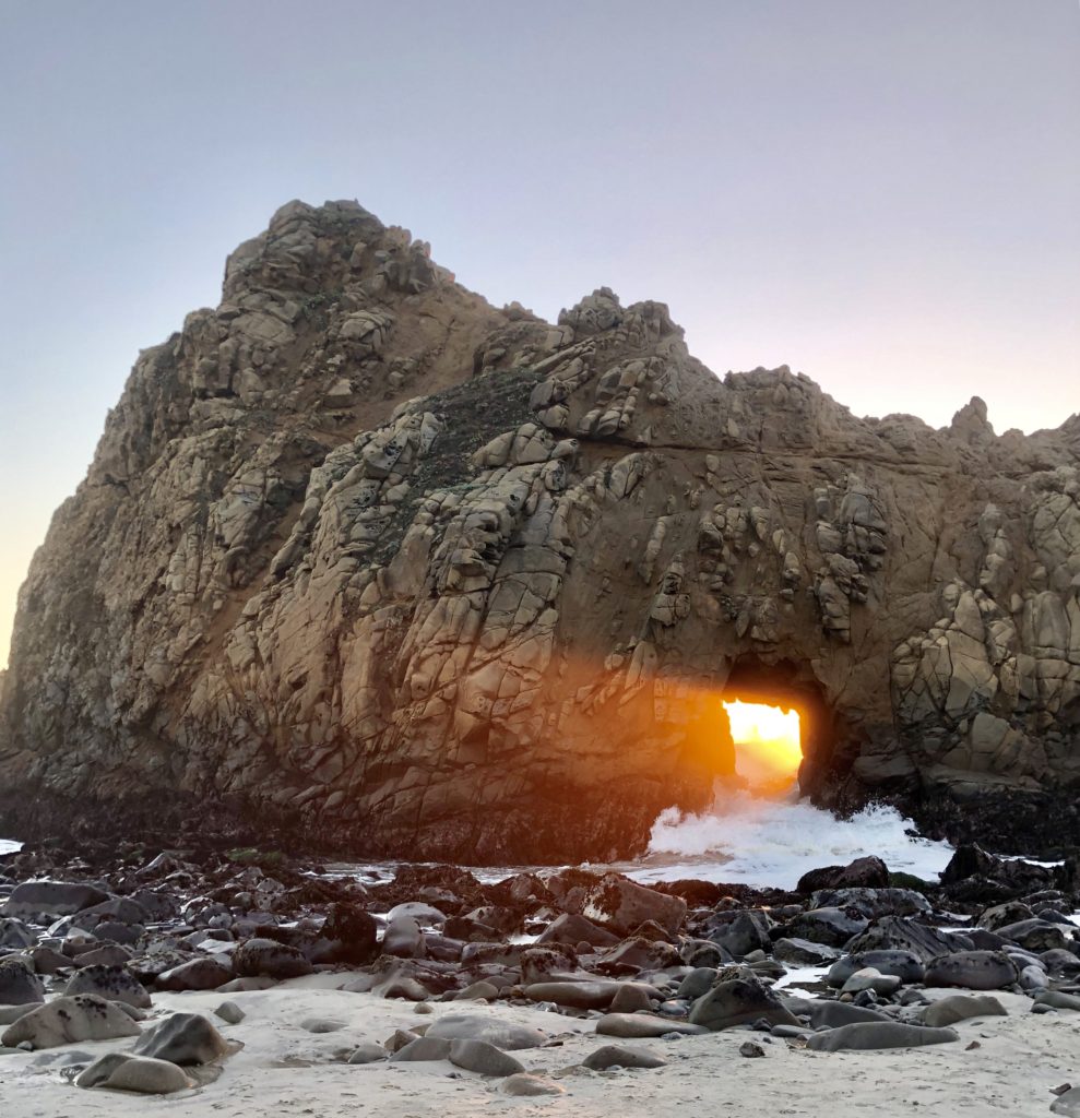
For a few brief weeks around the winter solstice, the sunset casts an ethereal glow through the Keyhole Arch. 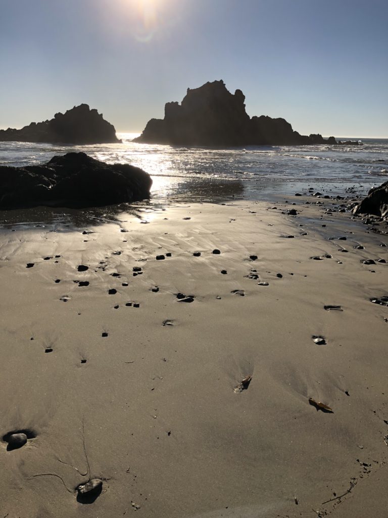
It’s fun to just sit and contemplate the myriad of sea stacks from the beautiful beach. If you are heading to Big Sur, the exquisite Pfeiffer Beach is a must see. It is easy to miss the unmarked turnoff for this secluded beach. Take a severely sharp turn off Highway 1 on Sycamore Canyon Road at mile marker 45.64, the second right turn after Big Sur Station if you are heading south. The meandering, narrow Sycamore Canyon Road is bordered by the occasional and surprising home, given the solitude. Follow Sycamore Canyon Road just over two miles to reach the parking area.
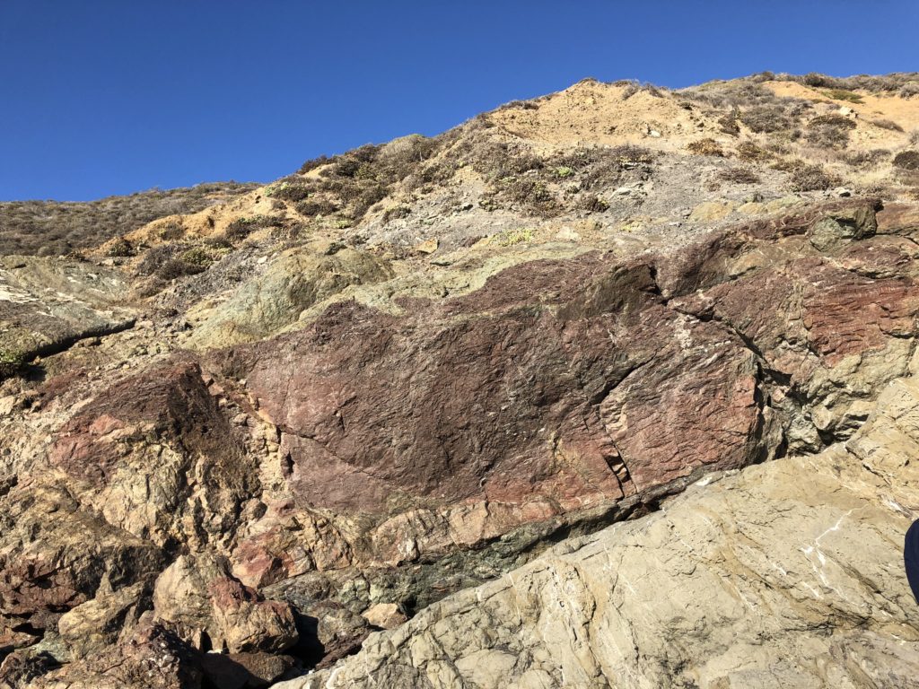
Manganese saturates the rocky outcroppings with its purple hue. 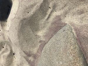
The disintegrating manganese in the cliffside creates a beautiful violet variation in the beach’s sand. Take a ridiculously short .1 mile hike on a flat, sandy path from the parking area to the beach. The path is flanked by Monterey Cypress and the Sycamore Canyon Creek, on the left, flows down to form a serene pool at the beach. The sun beats down on the purple-hued sand and huge waves roll and crash against the rocks and beach. The wind is usually blustery and harsh in this area.
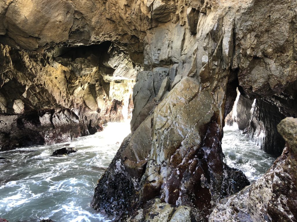
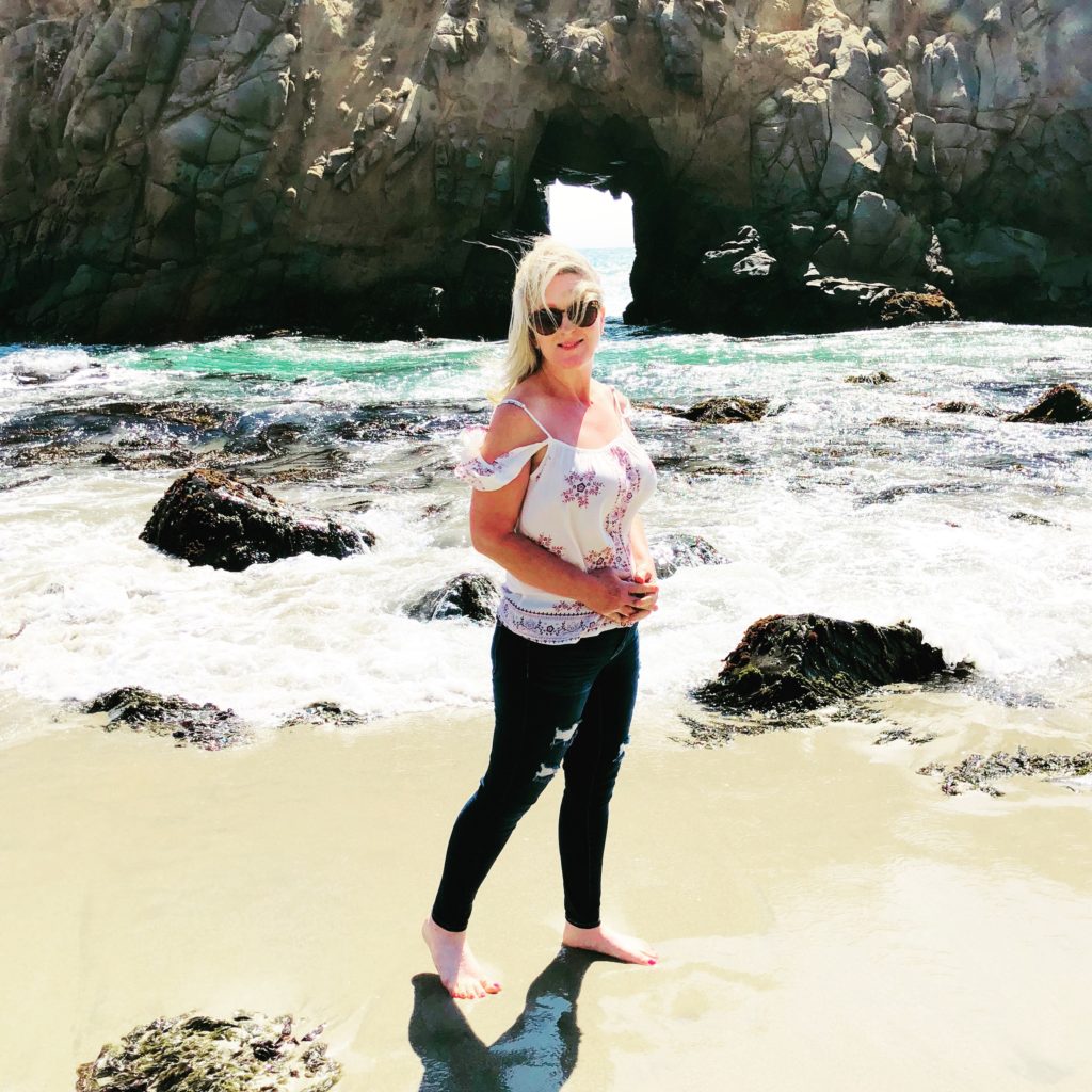
You will be wowed by the sea stack formations here. There are three arches. Two stand side by side, close to the beach. The third, called Keyhole Arch, stands further north, alone and solitary in a wall of rock several yards out in the ocean at high tide. For a few weeks, beginning in mid-December, sunlight comes through the northern keyhole arch perfectly (or close to it) due to the angle of the sunset, and photographers will gather to get that perfect shot. The surf here can also be incredibly powerful, with huge dramatic waves.
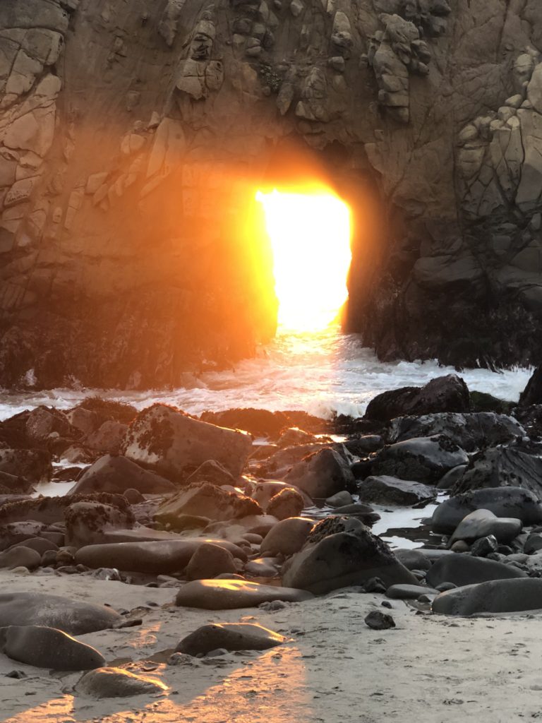
The Keyhole Arch is said to be the most-photographed attraction in Big Sur after Bixby Bridge. Pfeiffer Beach is not a state park, but rather, a part of the Los Padres Nation Forest. During the spring, the low bluffs above the beach are dotted with wildflowers, including California poppies, verbena, Indian paintbrush, and lupines. The cliffs and arches at Pfeiffer Beach are primarily granite which continues to erode over the years with the sea’s crashing waves.
Helpful Tips:
- If you are heading south on Hwy 1, the Pfeiffer Beach turnoff is on the right, shortly after you pass the Pfeiffer Big Sur State Park entrance. The very sharp right turn is at mile marker 45.64 on unmarked Sycamore Canyon Road. Sycamore Canyon Road is a paved, ungated road.
- Pfeiffer Beach does not allow you to park outside and walk in, as you can at other places such as Point Lobos. Au Contraire. You have to pay the $10.00 entrance fee to enter in your vehicle.
- There are a limited number of parking spots and when they’re filled you are out of luck. They do not allow overnight camping, and no RVs or campers are allowed in due to the narrow road.
- Be aware that there is a “nude” section at the extreme far north end of the beach so that if you see a swimsuit or clothing lying on the beach you may be approaching a naked person!
- Pfeiffer Beach can also be extremely crowded on weekends so you may want to visit during the week when it is less busy.
- There are pit toilets available but no water to wash your hands. I recommend bringing hand sanitizer.
- It can be quite chilly and very windy, bring a sweater or jacket.
- The walk from the parking lot to the beach is short and well marked.
- Dogs on leash are allowed on the beach.
- Picnic tables and benches are available near the parking lot.
- GPS coordinates for Pfeiffer Beach are 36.2383,-121.8150.
- No campfires are allowed.
- Swimming and wading are not recommended due to dangerous waves and rip currents.
Cost:
Daily admission is 10.00 or you can purchase an annual pass for 50.00. Both cash and credit cards are accepted.
Hours:
They are open daily 8 am to sunset.
Helpful Links:
For more information, see Sycamore Canyon and Pfeiffer Beach
Thank you for visiting my blog! Wishing you peace, love, happiness, & beautiful vistas!